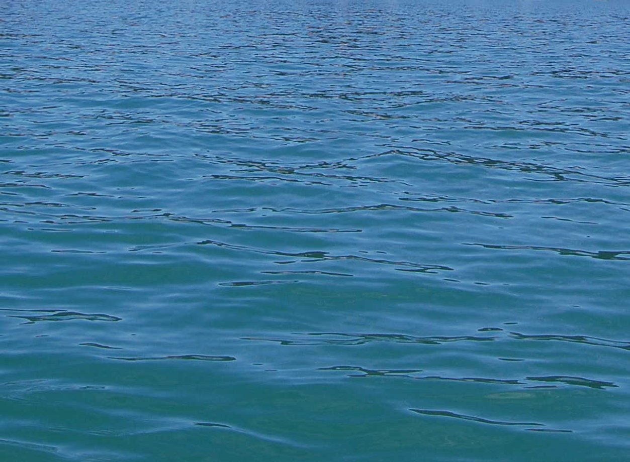
Scotts Flat Lake
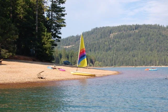
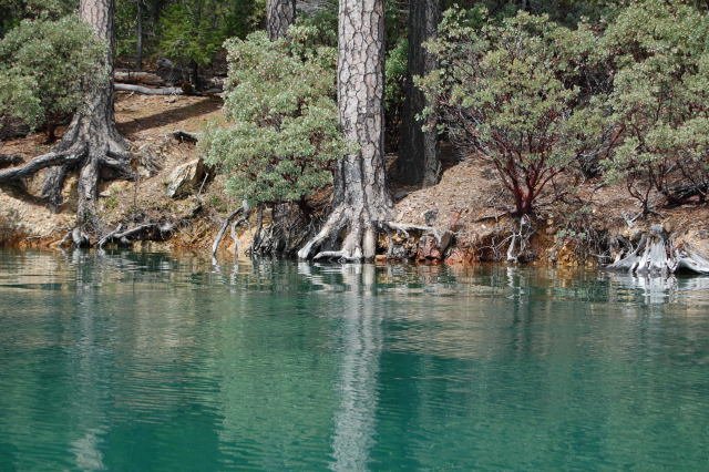
Scotts Flat Lake is located in the Tahoe National Forest, 6.5 miles east of Nevada City, California. The lake is at an elevation of 3,100 feet with a surface area of 850 acres and 7.5 miles of shoreline dotted with pine trees. The lake has a marina and two launch ramps. Other amenities include campsites, a picnic area, sandy beaches, and a general store.
Gold Country Yacht Club has their clubhouse located near the launch ramp on the Northern side of the lake. Many GCYC members keep their boats moored to one of the NID moorings adjacent to the launch ramp.
Every June, Scotts Flat Lake is the home of the Gold For The Gold Regatta, a weekend of racing that attracts sailors from around the country.
History of Scotts Flat Lake
The California Gold Rush of 1849 lured many immigrants to Nevada County with dreams of finding wealth. Camps sprang up along Deer Creek where the gravel bed was rich with gold. Communities grew rapidly with brush houses and log cabins replacing the tents. A group of Scottish immigrants, bound by a common language, settled in a flat valley about 6 miles upstream from Nevada City in the area now known as Scotts Flat.
By the time they arrived, prospecting for gold had evolved from sifting through the creek bed by hand to the earliest form of placer mining, using a pan to help separate the gold from the sediment. Word spread of a sluice box being developed in nearby Buckeye Hill. It used the same principle as panning but was a box with riffles along the bottom to trap the gold as water and gravel washed over them. By 1855, a local entrepreneur named Amos Laird was employing 200 pick-and-shovel miners in the local area to work his network of sluices with water provided by a network of canals
Technology would soon take a huge leap that would change life forever in Scotts Flat. Hydraulic mining, using jets of high-pressure water to wash away gravel and bolders, was developed in Nevada City in 1853. Creeks were dammed to collect water and ditches built to deliver the large quantities needed to excavate the hillsides. Providing water for hydraulic mining became a very profitable business resulting in countless lawsuits over water rights. In 1854, the small ditches were consolidated into powerful water companies, one being the Rock Creek, Deer Creek, and South Yuba Canal Company (later shortened to South Yuba Canal Co. in 1870) controlling the canals and ditches in the Scotts Flat area.
Amos Laird, having become the largest hydraulic miner of the area, and wanting to save money being paid to the water companies, began building a dam in Scotch Flat (note different spelling) in 1856. This would mark the end of the Scottish mining camp. In February 1857, as the dam was rapidly filling from heavy rains, it suddenly gave way, sending water cascading down Deer Creek and into Nevada City where it wiped out two bridges, six houses, three stores, and half a hotel.
The people of area watched in dismay as engineering resources and power replaced the solitary miner. Hydraulic mining required a company approach, employing men to wash away the hillside with high-powered nozzles. One worker with a hose could do the work of 20 shovelers. The single miner was obsolete. The mining population along the creek dwindled, leaving a small lake behind the collapse of Laird's Dam.
Tilton, Mulloy, Cunningham, and Snell made a hydraulic mining claim in the Scotts Flat in 1865, and powerful monitors supplied by the local water systems began blasting away the hillsides in the search for gold. The gravel was washed through sluices where workers would extract the gold that settled behind the riffles. Any gold that remained in the washed gravel was picked out by Chinese workers, and the final gold separated out by the use of mercury.
Hydraulic mining operations continued to multiply and dominate gold mining. Companies formed at Sailor Flat, just south of Scotts Flat, and at nearby Quaker Hill. It is estimated that the water stripped 12 million cubic yards of dirt and gravel from the Scotts Flat hillsides, depositing it into the streams and creeks, and carrying it downstream where, combined with the hydraulic debris from other mining operations, it raised the level of the Central Valley by as much as 20 feet and formed huge bars in San Francisco Bay. The farmland became useless, and wildlife destroyed. Environmental opposition rose and hydraulic mining was outlawed in 1884.
Fortunately for the companies that had built their businesses providing water for hydraulic mining, the water-powered Pelton Wheel was being developed in Nevada City and would soon revolutionize power generation. Generators provided the power to move mining underground and power companies would become a new business force. The first project for PG&E was the Deer Creek Powerhouse just upstream from Scotts Flat.
Water companies were also expanding to provide more irrigation water to the farms of the Central Valley. The 1920s brought a campaign to form a water district in Nevada County. Many of the old canals and reservoirs had fallen into disrepair or were unused. Recognizing the value of a constant water supply, the Nevada Irrigation District was formed by a popular vote. NID began working on a plan to capture, store, and deliver water to the people of Nevada County.
NID built the first dam at Scotts Flat in 1928. It's now known as Lower Scotts Flat Diversion Dam and provides water to the D-S Canal. A second dam was built a bit upstream in 1948 and enlarged to its current size in 1964.
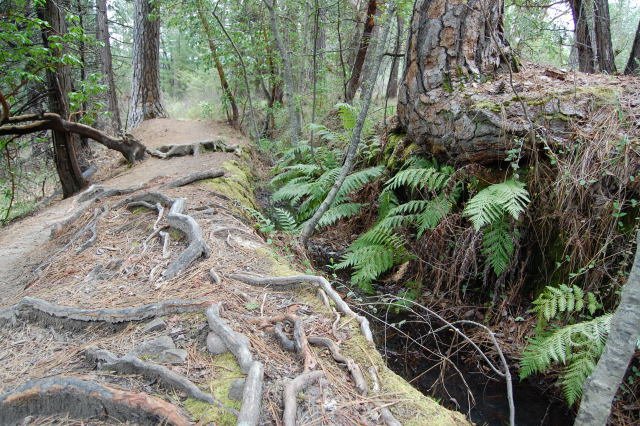
Today, the mining camp of Scotts Flat is under water, trees are growing up to cover the hydraulic mining scars, and Scotts Flat Lake is a recreation area...but the water still provides for irrigation and power generation needs downstream. Snow Mountain Ditch, built in 1854, runs along the north side of the lake. Although no longer in use, the ditch is still clearly visible as it runs past the GCYC Clubhouse. Cascade Canal on the south side of the lake was recently changed to a concrete pipe to continue delivering water into the future.


